


Shikmona shore
According to urban customs, in Israel and in the western world, a city with the size of Haifa is expected to have a central urban open space – an urban park – and a few quarter public parks. Haifa, although surrounded by many open spaces, haven't consisted of any central or quarter parks. In respond, it was decided to fill the absence and to erect an urban park along the Shikmona shore for the residences of Haifa. The decision to locate the park along the coast line is an expression of the effort to "return" the sea to the city as well as to rehabilitate and maintain Shikmona shore.
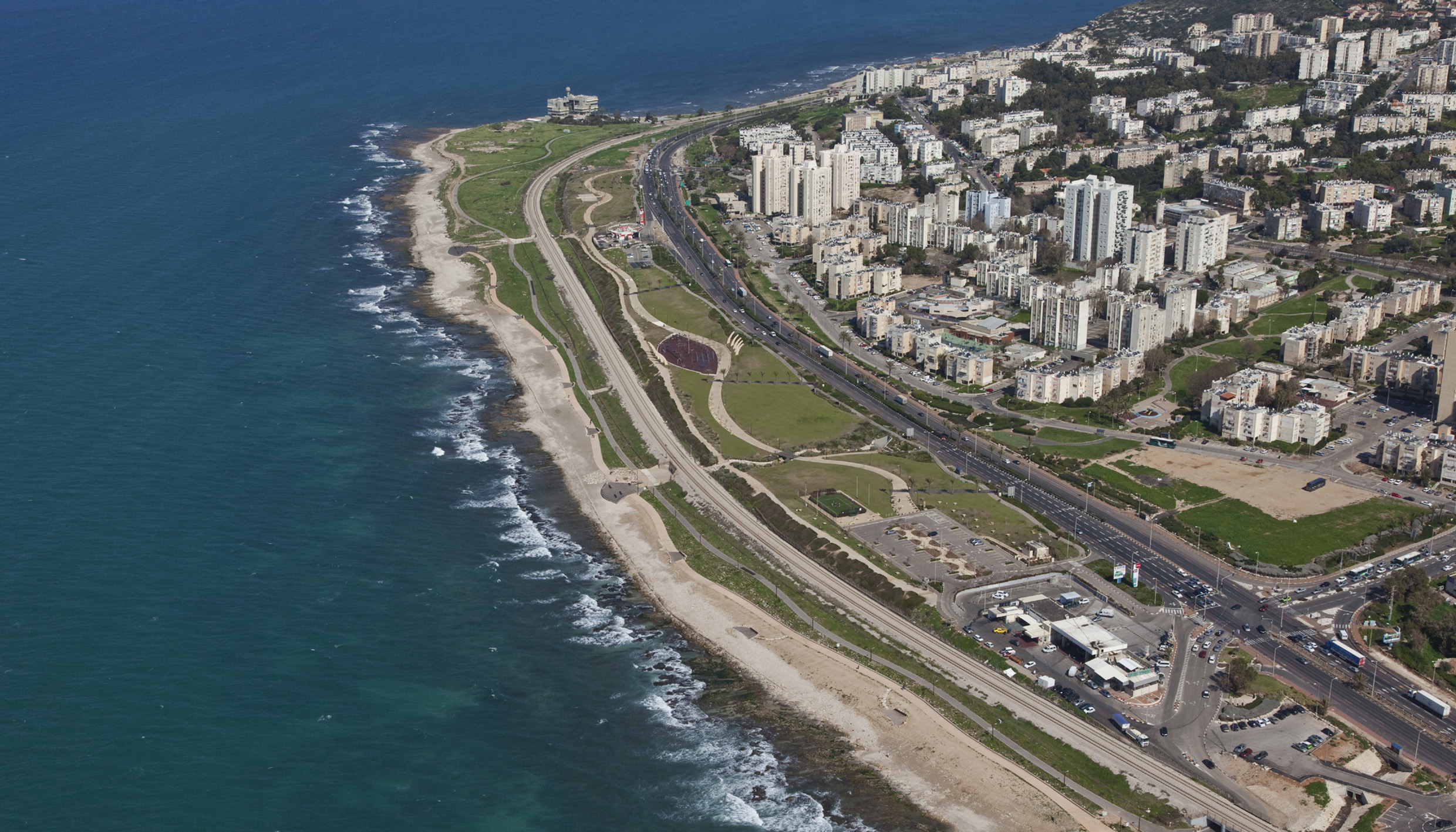
The 1.5 kilometers of Shikmona Shore is one of the unique parts of the Haifa urban and coast system. It is a limestone shore and contains rare geomorphologic formations as well as undersea flora and fauna. The Shikmona waters are a nature reserve and its shoreline was recently declared a National Park. An archeological "tel" (a man made hill covering remains of ancient settlements) hints at layers of civilization starting from the era of biblical King Solomon. Two main channels run down from Mount Carmel through the Shikmona site to provide drainage for the city to the sea. Throughout the years the natural assets of the site have been neglected and abused. The Shikmona open space is bordered on the east by the main entry road to Haifa and residential neighborhoods and dissected by a railway to create two distinct linear parts, each about 40 – 60 meters wide. The park was planned to consist of two linear, very different sections, which compliment each other - Shikmona shore, the western section and Hecht Park, the eastern section.
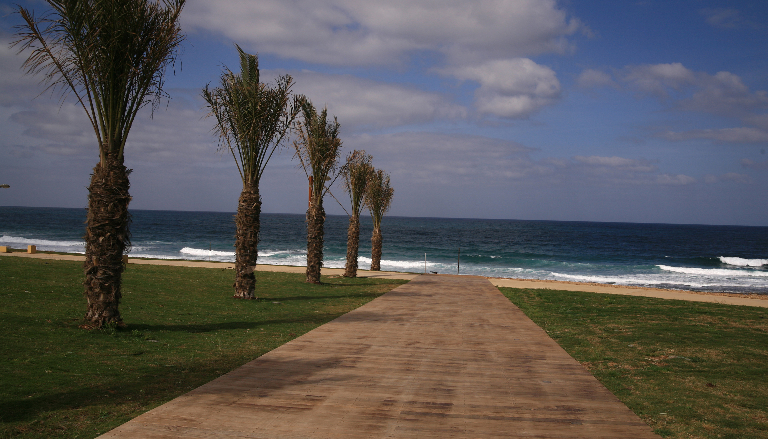
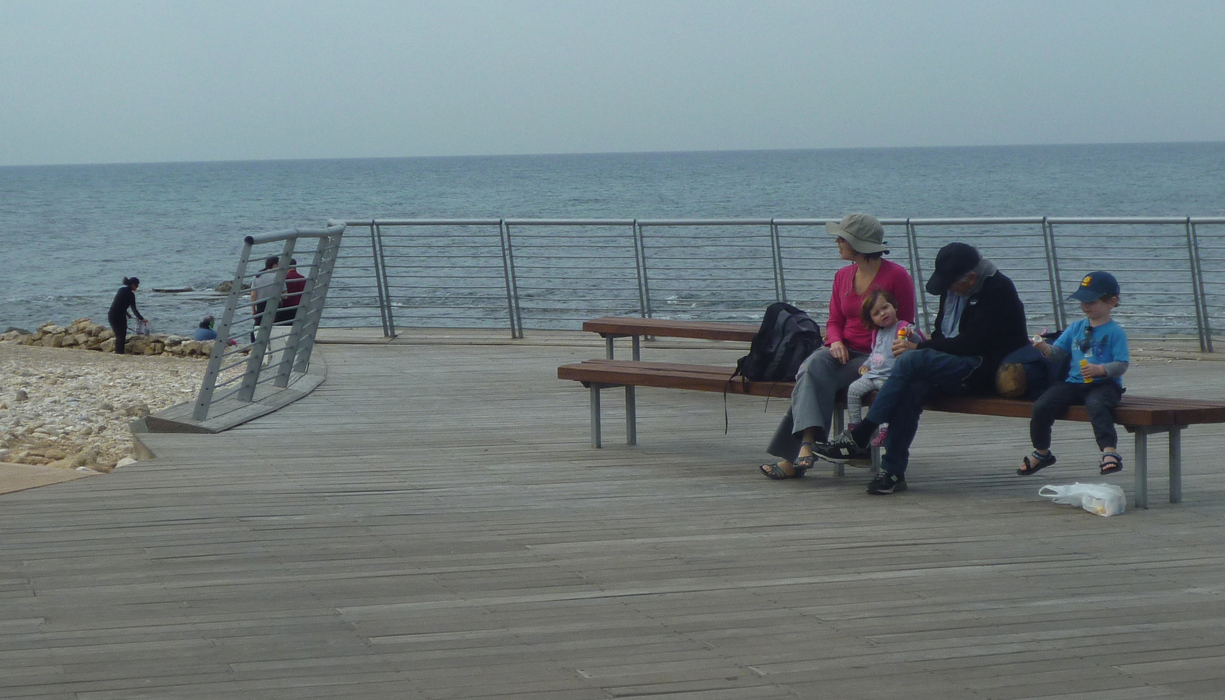
Shikmona shore, 75,000 square meters, situated between the sea line and the railway, is planned as an ecological and reclamation park. It servant as an archeological park – an open museum around "Tel Shikmona", exposing the marine shore and reservation to the public. Shikmona shore Contains of a modest linear floating deck with some sitting areas and view points along as well as a bicycle path connecting the northern and southern beaches. The floating deck is planned to be placed along an historic wall by the water edge that Restored. Another rehabilitation actions that takes removal of waste, restraining the access of vehicles and reclamation of the endemic vegetation.
Hecht Park, also about 75,000 square meters is a narrow strip situated between the railway line and the road. This area has been treated until recently as no man's land. It was designated to serve as a vivid, very active linear urban park as well as to provide parking and services backup for the coastal, western park. The passage between the two parks, under the railway line, will be restricted to pedestrians in parallel with the nature drainage routes.
The main concept that directed our design process was the idea of a linear park. The concept derived from the linear nature of the coastline and from the aspiration to re-establish the sequence between the different sections of the coastline – enabling to experience the coastline by foot.
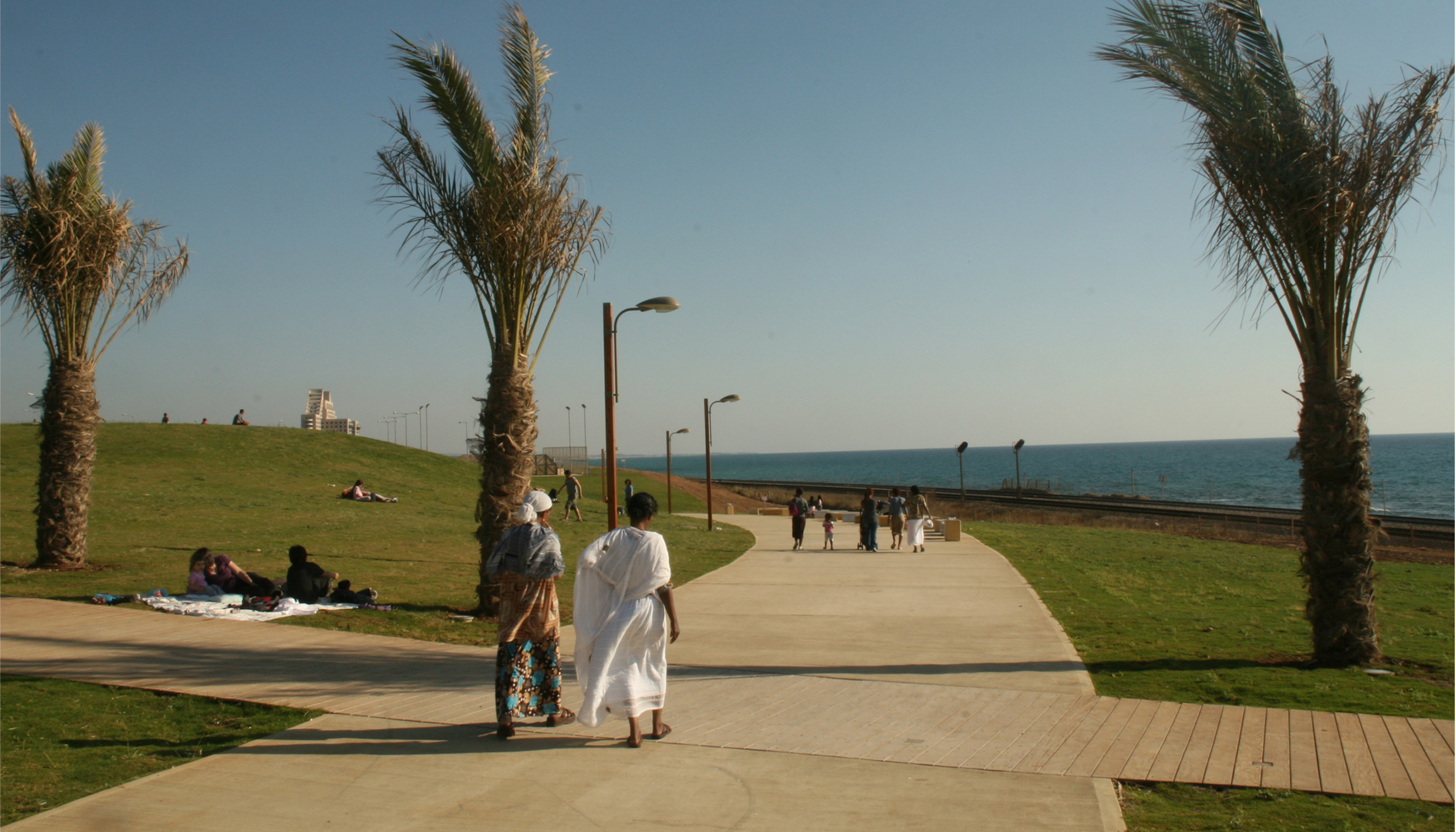
According to the design concept, the program consists of two different paths, stretched along the park parallel to the coastline. The paths are designed to connect between different sections of the coastline. The main wide path, located centrally, is designated for walking, jogging and bicycle riding, maintaining a continuous open view to the sea. The secondary path is located at the upper side of a park, providing a more extensive area for walking and enjoying the sea view. Both of the paths are outlined according to topography, designed in meandering lines. In this way the movement system implements the park as a component in a sequence of shores and urban open spaces along the sea.
On both sides of the main path relies a system of areas shaded by trees, a picnic area close to the parking spaces, a set of sculptural vacation-activity devices and physical fitness devices and a small amphitheater, for 150-300 people, integrated in the slope. There is a wide activity area, shaded with membranes. The landscape of the park is designed to create small hills that provide a playful open environment. An important principal of the design was to maintain an open view to the sea from the main road, located at the east of the park, for this is the only section of the shore where it is possible. Therefore vertical elements as trees and shadings are placed sporadically lower than the main road.
The meandering paths are penetrated by diagonal lines that represent and continue the urban pattern. These lines are realized by hovering wooden decks, providing a sitting and viewing point. Each one designed differently, combined with shadings, connecting visually and physically between the two walking paths Along with the diagonal elements, there is a set of passages, formed under the main road, enabling to reach the park by foot from the nearby neighborhoods.
The two channels that cross the park are highlighted by a creation of intersection points between them and two other main elements – the main meandering path and the diagonal decks as well as use of river vegetation. The integration of the channels and the directing lines, derived from the city, emphasizes our aspiration to create a park that is not only related to the near urban context but also is an integral component of the open space system of the city.
| Tipologia | Passeigs maritims |
| Promoció | P?ca |
| Localització | Haifa, Haifa, Israel |
| Àrea | 1500000 m² |
| Cost | 30 €/m² |
| Any inici | 2012 |
| Any finalització | 2012 |